
EPW038562 ENGLAND (1932). Woodford Aerodrome Woodford, 1932
© Hawlfraint cyfranwyr OpenStreetMap a thrwyddedwyd gan yr OpenStreetMap Foundation. 2026. Trwyddedir y gartograffeg fel CC BY-SA.
Delweddau cyfagos (8)
EPW038562

EPW038558

EPW038559

EPW038557

EPW038561

EPW017807

EPW017808

EPW017809

Manylion
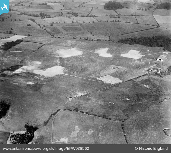
| Pennawd | [EPW038562] Woodford Aerodrome Woodford, 1932 |
| Cyfeirnod | EPW038562 |
| Dyddiad | June-1932 |
| Dolen | |
| Enw lle | WOODFORD |
| Plwyf | |
| Ardal | |
| Gwlad | ENGLAND |
| Dwyreiniad / Gogleddiad | 389554, 381676 |
| Hydred / Lledred | -2.1568737245233, 53.331623587926 |
| Cyfeirnod Grid Cenedlaethol | SJ896817 |
Pinnau

IanL |
Friday 28th of November 2014 08:47:08 PM | |
|
IanL |
Friday 28th of November 2014 08:46:35 PM | |
|
IanL |
Friday 28th of November 2014 08:42:31 PM | |
|
IanL |
Friday 28th of November 2014 08:29:21 PM | |
|
IanL |
Friday 28th of November 2014 08:28:00 PM | |
|
IanL |
Friday 28th of November 2014 08:27:07 PM | |
|
IanL |
Friday 28th of November 2014 08:26:36 PM |