
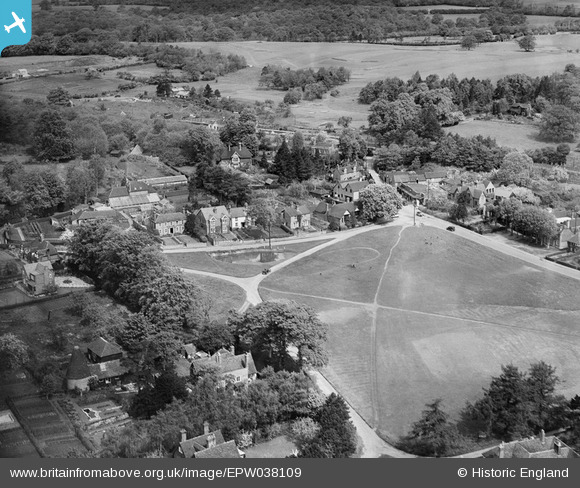
EPW038109 ENGLAND (1932). The Green, Bearsted, 1932
© Hawlfraint cyfranwyr OpenStreetMap a thrwyddedwyd gan yr OpenStreetMap Foundation. 2026. Trwyddedir y gartograffeg fel CC BY-SA.
Delweddau cyfagos (2)
EPW038109

EPW038107

Manylion
| Pennawd | [EPW038109] The Green, Bearsted, 1932 |
| Cyfeirnod | EPW038109 |
| Dyddiad | May-1932 |
| Dolen | |
| Enw lle | BEARSTED |
| Plwyf | BEARSTED |
| Ardal | |
| Gwlad | ENGLAND |
| Dwyreiniad / Gogleddiad | 579980, 155946 |
| Hydred / Lledred | 0.5805737025173, 51.273685943262 |
| Cyfeirnod Grid Cenedlaethol | TQ800559 |
