
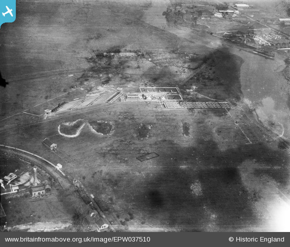
EPW037510 ENGLAND (1932). The Sewage Treatment Works on the west bank of Barking Creek, Beckton, from the south, 1932
© Hawlfraint cyfranwyr OpenStreetMap a thrwyddedwyd gan yr OpenStreetMap Foundation. 2026. Trwyddedir y gartograffeg fel CC BY-SA.
Delweddau cyfagos (14)
EPW037510

EPW037513

EAW022381

EPW037877

EPW037879

EPW037508

EPW037875

EPW037873

EPW037876

EPW037874

EPW037878

EPW025601

EAW022382

EPW025605

Manylion
| Pennawd | [EPW037510] The Sewage Treatment Works on the west bank of Barking Creek, Beckton, from the south, 1932 |
| Cyfeirnod | EPW037510 |
| Dyddiad | 22-April-1932 |
| Dolen | |
| Enw lle | BECKTON |
| Plwyf | |
| Ardal | |
| Gwlad | ENGLAND |
| Dwyreiniad / Gogleddiad | 545286, 181794 |
| Hydred / Lledred | 0.094107412617652, 51.515878639817 |
| Cyfeirnod Grid Cenedlaethol | TQ453818 |
Pinnau
Byddwch y cyntaf i ychwanegu sylw at y ddelwedd hon!