
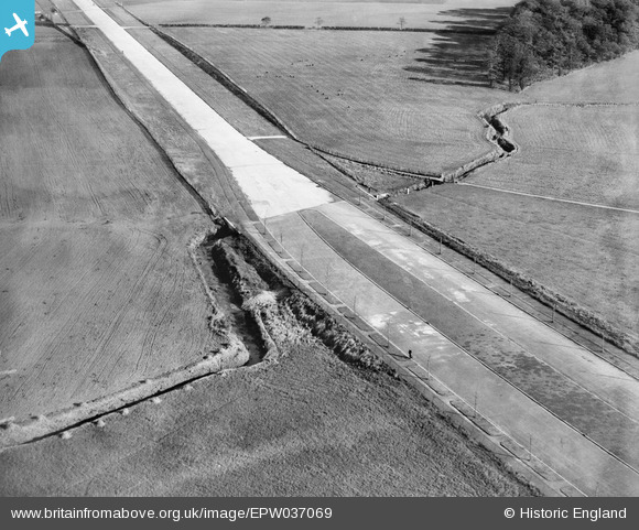
EPW037069 ENGLAND (1931). The East Lancashire Road (A580), Gillmoss, 1931
© Hawlfraint cyfranwyr OpenStreetMap a thrwyddedwyd gan yr OpenStreetMap Foundation. 2025. Trwyddedir y gartograffeg fel CC BY-SA.
Delweddau cyfagos (3)
EPW037069
, Gillmoss, 1931")
EPW037068
, Gillmoss, 1931")
EPW037067
, Gillmoss, 1931")
Manylion
| Pennawd | [EPW037069] The East Lancashire Road (A580), Gillmoss, 1931 |
| Cyfeirnod | EPW037069 |
| Dyddiad | October-1931 |
| Dolen | |
| Enw lle | GILLMOSS |
| Plwyf | |
| Ardal | |
| Gwlad | ENGLAND |
| Dwyreiniad / Gogleddiad | 340851, 396645 |
| Hydred / Lledred | -2.8910247342647, 53.462970181567 |
| Cyfeirnod Grid Cenedlaethol | SJ409966 |
Pinnau

Moonraker |
Thursday 30th of November 2023 07:45:41 PM | |
|
jimmyjoggers |
Tuesday 4th of March 2014 08:36:37 AM | |
|
jimmyjoggers |
Tuesday 4th of March 2014 08:33:38 AM | |
|
jimmyjoggers |
Tuesday 4th of March 2014 08:31:40 AM |