
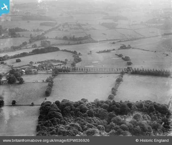
EPW036926 ENGLAND (1931). Eyhurst and Kingswood Golf Course, Kingswood, 1931
© Hawlfraint cyfranwyr OpenStreetMap a thrwyddedwyd gan yr OpenStreetMap Foundation. 2026. Trwyddedir y gartograffeg fel CC BY-SA.
Delweddau cyfagos (2)
EPW036926

EPW036943

Manylion
| Pennawd | [EPW036926] Eyhurst and Kingswood Golf Course, Kingswood, 1931 |
| Cyfeirnod | EPW036926 |
| Dyddiad | October-1931 |
| Dolen | |
| Enw lle | KINGSWOOD |
| Plwyf | |
| Ardal | |
| Gwlad | ENGLAND |
| Dwyreiniad / Gogleddiad | 526069, 156070 |
| Hydred / Lledred | -0.19186330227876, 51.289284021095 |
| Cyfeirnod Grid Cenedlaethol | TQ261561 |
Pinnau
Byddwch y cyntaf i ychwanegu sylw at y ddelwedd hon!