
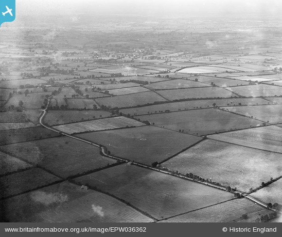
EPW036362 ENGLAND (1931). Loughton Airfield and environs, Shenley Brook End, from the south-east, 1931
© Hawlfraint cyfranwyr OpenStreetMap a thrwyddedwyd gan yr OpenStreetMap Foundation. 2026. Trwyddedir y gartograffeg fel CC BY-SA.
Delweddau cyfagos (3)
EPW036362

EPW036361

EPW036359

Manylion
| Pennawd | [EPW036362] Loughton Airfield and environs, Shenley Brook End, from the south-east, 1931 |
| Cyfeirnod | EPW036362 |
| Dyddiad | August-1931 |
| Dolen | |
| Enw lle | SHENLEY BROOK END |
| Plwyf | SHENLEY BROOK END |
| Ardal | |
| Gwlad | ENGLAND |
| Dwyreiniad / Gogleddiad | 484394, 234937 |
| Hydred / Lledred | -0.77036667128706, 52.006020346977 |
| Cyfeirnod Grid Cenedlaethol | SP844349 |
Pinnau

Sarah |
Monday 10th of April 2023 02:05:20 PM | |
|
anthony howard |
Tuesday 17th of May 2016 10:17:30 PM | |
|
anthony howard |
Tuesday 17th of May 2016 10:16:26 PM | |
|
anthony howard |
Sunday 15th of May 2016 08:48:19 AM |