
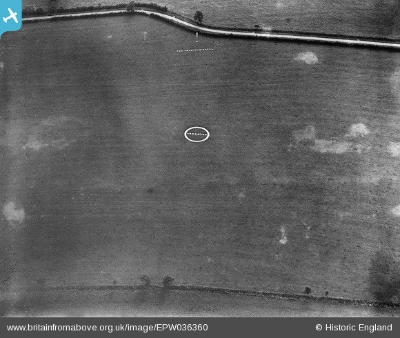
EPW036360 ENGLAND (1931). Loughton Airfield, Shenley Brook End, 1931
© Hawlfraint cyfranwyr OpenStreetMap a thrwyddedwyd gan yr OpenStreetMap Foundation. 2026. Trwyddedir y gartograffeg fel CC BY-SA.
Delweddau cyfagos (4)
EPW036360

EPW036358

EPW036359

EPW036361

Manylion
| Pennawd | [EPW036360] Loughton Airfield, Shenley Brook End, 1931 |
| Cyfeirnod | EPW036360 |
| Dyddiad | August-1931 |
| Dolen | |
| Enw lle | SHENLEY BROOK END |
| Plwyf | SHENLEY BROOK END |
| Ardal | |
| Gwlad | ENGLAND |
| Dwyreiniad / Gogleddiad | 484319, 235220 |
| Hydred / Lledred | -0.77138948596189, 52.008575820669 |
| Cyfeirnod Grid Cenedlaethol | SP843352 |
Pinnau
Byddwch y cyntaf i ychwanegu sylw at y ddelwedd hon!