
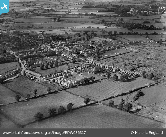
EPW036317 ENGLAND (1931). Calverton End and environs, Stony Stratford, 1931
© Hawlfraint cyfranwyr OpenStreetMap a thrwyddedwyd gan yr OpenStreetMap Foundation. 2026. Trwyddedir y gartograffeg fel CC BY-SA.
Delweddau cyfagos (4)
EPW036317

EAW009509

EPW036318

EPW036314

Manylion
| Pennawd | [EPW036317] Calverton End and environs, Stony Stratford, 1931 |
| Cyfeirnod | EPW036317 |
| Dyddiad | August-1931 |
| Dolen | |
| Enw lle | STONY STRATFORD |
| Plwyf | STONY STRATFORD |
| Ardal | |
| Gwlad | ENGLAND |
| Dwyreiniad / Gogleddiad | 479128, 240058 |
| Hydred / Lledred | -0.84589099453342, 52.052833283058 |
| Cyfeirnod Grid Cenedlaethol | SP791401 |
Pinnau

Whtrz |
Wednesday 31st of May 2023 03:03:59 PM | |

melgibbs |
Tuesday 6th of May 2014 04:43:27 PM | |
|
melgibbs |
Thursday 1st of May 2014 06:44:08 PM | |
|
melgibbs |
Thursday 1st of May 2014 06:43:44 PM |
