
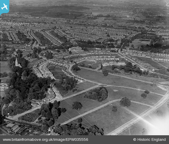
EPW035556 ENGLAND (1931). Housing at Arnos Grove, Christ Church and environs, New Southgate, 1931
© Hawlfraint cyfranwyr OpenStreetMap a thrwyddedwyd gan yr OpenStreetMap Foundation. 2026. Trwyddedir y gartograffeg fel CC BY-SA.
Delweddau cyfagos (2)
EPW035556

EPW035557

Manylion
| Pennawd | [EPW035556] Housing at Arnos Grove, Christ Church and environs, New Southgate, 1931 |
| Cyfeirnod | EPW035556 |
| Dyddiad | June-1931 |
| Dolen | |
| Enw lle | NEW SOUTHGATE |
| Plwyf | |
| Ardal | |
| Gwlad | ENGLAND |
| Dwyreiniad / Gogleddiad | 529739, 193183 |
| Hydred / Lledred | -0.12563983514307, 51.622023645131 |
| Cyfeirnod Grid Cenedlaethol | TQ297932 |
Pinnau

Class31 |
Wednesday 27th of March 2013 08:55:58 PM | |
|
Class31 |
Wednesday 27th of March 2013 08:55:14 PM | |
|
Class31 |
Wednesday 27th of March 2013 08:54:40 PM | |
|
Class31 |
Wednesday 27th of March 2013 08:53:40 PM | |
|
Class31 |
Wednesday 27th of March 2013 08:52:13 PM |