
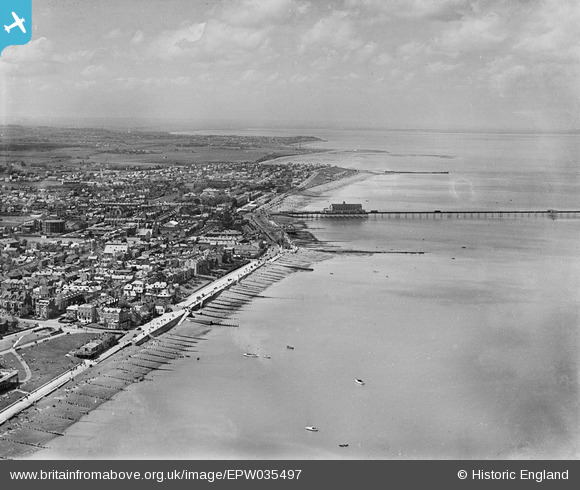
EPW035497 ENGLAND (1931). The town and pier, Herne Bay, from the north-east, 1931
© Hawlfraint cyfranwyr OpenStreetMap a thrwyddedwyd gan yr OpenStreetMap Foundation. 2026. Trwyddedir y gartograffeg fel CC BY-SA.
Delweddau cyfagos (4)
EPW035497

EPW000147

EPW035496

EPW054045

Manylion
| Pennawd | [EPW035497] The town and pier, Herne Bay, from the north-east, 1931 |
| Cyfeirnod | EPW035497 |
| Dyddiad | May-1931 |
| Dolen | |
| Enw lle | HERNE BAY |
| Plwyf | |
| Ardal | |
| Gwlad | ENGLAND |
| Dwyreiniad / Gogleddiad | 618044, 168508 |
| Hydred / Lledred | 1.1332265461633, 51.373193677931 |
| Cyfeirnod Grid Cenedlaethol | TR180685 |
Pinnau
Byddwch y cyntaf i ychwanegu sylw at y ddelwedd hon!
Cyfraniadau Grŵp

Herne Bay High Street 2014 |

Alan McFaden |
Monday 13th of October 2014 10:24:05 AM |

Herne Bay Seafront 2014 |
Alan McFaden |
Monday 13th of October 2014 10:23:30 AM |
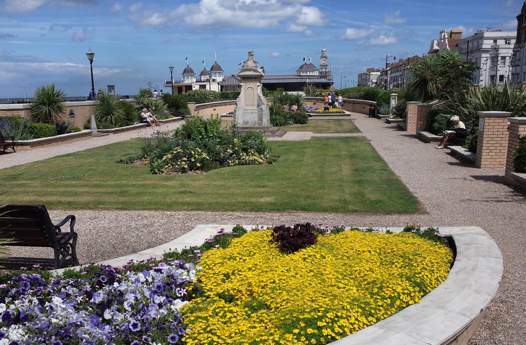
Herne Bay Waltrop Gardens 2014 |
Alan McFaden |
Monday 13th of October 2014 10:23:00 AM |

Herne Bay Pier 2014 |
Alan McFaden |
Monday 13th of October 2014 10:22:29 AM |
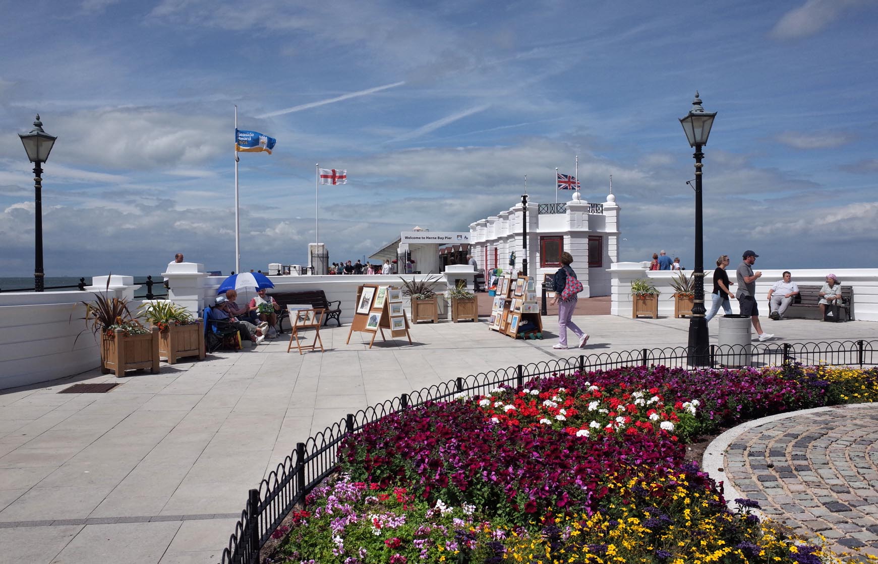
Herne Bay Pier 2014 |
Alan McFaden |
Monday 13th of October 2014 10:22:06 AM |