
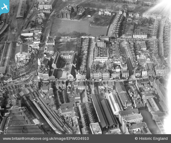
EPW034910 ENGLAND (1931). The Convent and School of the Sacred Heart, the West London Hospital and environs, Hammersmith, 1931
© Hawlfraint cyfranwyr OpenStreetMap a thrwyddedwyd gan yr OpenStreetMap Foundation. 2026. Trwyddedir y gartograffeg fel CC BY-SA.
Delweddau cyfagos (13)
EPW034910

EPW034904

EPW034909

EPW034905

EPW034906

EPW034907

EPW034911

EPW034903

EPW034908

EPW025119

EPR000469

EPW057072

EPW045415

Manylion
| Pennawd | [EPW034910] The Convent and School of the Sacred Heart, the West London Hospital and environs, Hammersmith, 1931 |
| Cyfeirnod | EPW034910 |
| Dyddiad | March-1931 |
| Dolen | |
| Enw lle | HAMMERSMITH |
| Plwyf | |
| Ardal | |
| Gwlad | ENGLAND |
| Dwyreiniad / Gogleddiad | 523498, 178673 |
| Hydred / Lledred | -0.22085382354251, 51.493011232241 |
| Cyfeirnod Grid Cenedlaethol | TQ235787 |
