
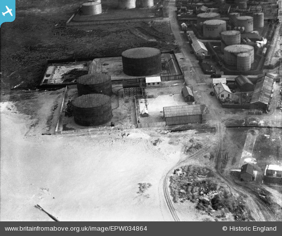
EPW034864 ENGLAND (1931). Watsons ROP oil storage depot at the entrance to Preston Docks, Preston, 1931
© Hawlfraint cyfranwyr OpenStreetMap a thrwyddedwyd gan yr OpenStreetMap Foundation. 2026. Trwyddedir y gartograffeg fel CC BY-SA.
Delweddau cyfagos (17)
EPW034864

EPW034863

EPW034869

EPW034866

EPW034870

EPW034868

EPW034865

EPW034871

EPW034867

EPW038880

EPW038853

EPW038882

EAW050355

EAW050356

EPW038881

EAW050364

EAW050361

Manylion
| Pennawd | [EPW034864] Watsons ROP oil storage depot at the entrance to Preston Docks, Preston, 1931 |
| Cyfeirnod | EPW034864 |
| Dyddiad | 4-March-1931 |
| Dolen | |
| Enw lle | PRESTON |
| Plwyf | |
| Ardal | |
| Gwlad | ENGLAND |
| Dwyreiniad / Gogleddiad | 350384, 429495 |
| Hydred / Lledred | -2.752666674833, 53.759227633404 |
| Cyfeirnod Grid Cenedlaethol | SD504295 |
Pinnau

Class31 |
Thursday 10th of January 2013 09:06:07 PM |