
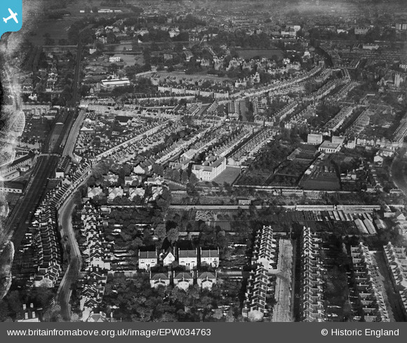
EPW034763 ENGLAND (1930). Housing at St Margarets and Twickenham Riverside, Twickenham, 1930
© Hawlfraint cyfranwyr OpenStreetMap a thrwyddedwyd gan yr OpenStreetMap Foundation. 2026. Trwyddedir y gartograffeg fel CC BY-SA.
Delweddau cyfagos (9)
EPW034763

EPW034760

EPW034758

EPW034761

EPW034755

EPW034762

EPW034759

EPW034757

EPW034756

Manylion
| Pennawd | [EPW034763] Housing at St Margarets and Twickenham Riverside, Twickenham, 1930 |
| Cyfeirnod | EPW034763 |
| Dyddiad | 29-October-1930 |
| Dolen | |
| Enw lle | TWICKENHAM |
| Plwyf | |
| Ardal | |
| Gwlad | ENGLAND |
| Dwyreiniad / Gogleddiad | 516738, 173946 |
| Hydred / Lledred | -0.31975590434328, 51.451958289634 |
| Cyfeirnod Grid Cenedlaethol | TQ167739 |
Pinnau

Wordy |
Saturday 26th of March 2022 07:27:00 PM | |
|
Drew |
Friday 17th of April 2015 12:26:10 AM | |
|
Delboy |
Tuesday 16th of September 2014 05:00:59 PM | |
|
Delboy |
Tuesday 16th of September 2014 05:00:33 PM | |
|
Joe90 |
Thursday 9th of January 2014 10:18:48 PM | |
|
Joe90 |
Thursday 9th of January 2014 10:17:32 PM |