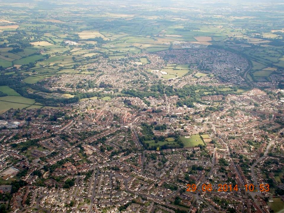
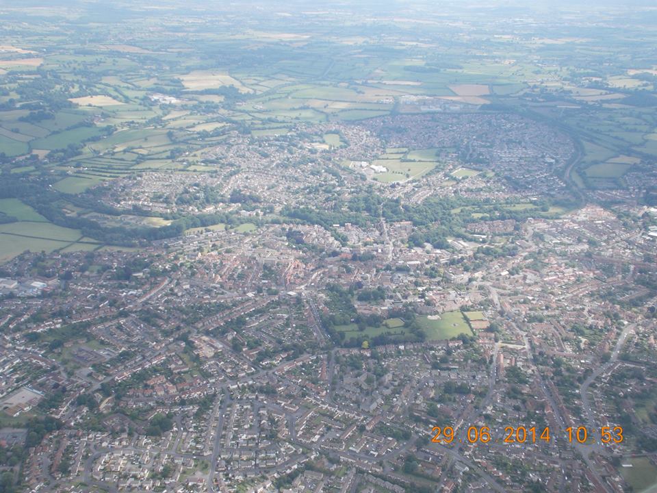
EPW033179 ENGLAND (1930). St John the Baptist's Church and environs, Frome, 1930

© Hawlfraint cyfranwyr OpenStreetMap a thrwyddedwyd gan yr OpenStreetMap Foundation. 2026. Trwyddedir y gartograffeg fel CC BY-SA.
Delweddau cyfagos (4)
EPW033179

EPW033180

EPW033210

EPW014688

Manylion
| Pennawd | [EPW033179] St John the Baptist's Church and environs, Frome, 1930 |
| Cyfeirnod | EPW033179 |
| Dyddiad | July-1930 |
| Dolen | |
| Enw lle | FROME |
| Plwyf | FROME |
| Ardal | |
| Gwlad | ENGLAND |
| Dwyreiniad / Gogleddiad | 377687, 147957 |
| Hydred / Lledred | -2.3195992326695, 51.229849562374 |
| Cyfeirnod Grid Cenedlaethol | ST777480 |
Pinnau

DamonCharles |
Tuesday 2nd of March 2021 03:46:55 PM | |
 |
Dickon Moore |
Monday 29th of September 2014 04:00:06 PM |
|
KeithFP |
Monday 26th of August 2013 11:47:33 AM | |

Class31 |
Tuesday 25th of June 2013 05:25:38 PM | |
|
Class31 |
Wednesday 30th of January 2013 10:54:01 AM | |
|
Class31 |
Wednesday 30th of January 2013 10:46:07 AM | |
|
Class31 |
Saturday 26th of January 2013 08:45:04 PM |