
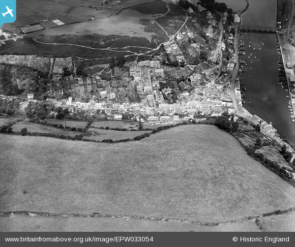
EPW033054 ENGLAND (1930). West Looe Hill and the harbour, West Looe, 1930
© Hawlfraint cyfranwyr OpenStreetMap a thrwyddedwyd gan yr OpenStreetMap Foundation. 2026. Trwyddedir y gartograffeg fel CC BY-SA.
Delweddau cyfagos (6)
EPW033054

EPW033053

EAW020276

EAW051356

EAW051357

EPW033108

Manylion
| Pennawd | [EPW033054] West Looe Hill and the harbour, West Looe, 1930 |
| Cyfeirnod | EPW033054 |
| Dyddiad | July-1930 |
| Dolen | |
| Enw lle | WEST LOOE |
| Plwyf | LOOE |
| Ardal | |
| Gwlad | ENGLAND |
| Dwyreiniad / Gogleddiad | 225239, 53155 |
| Hydred / Lledred | -4.4568539353476, 50.351720723612 |
| Cyfeirnod Grid Cenedlaethol | SX252532 |
Pinnau
Byddwch y cyntaf i ychwanegu sylw at y ddelwedd hon!