
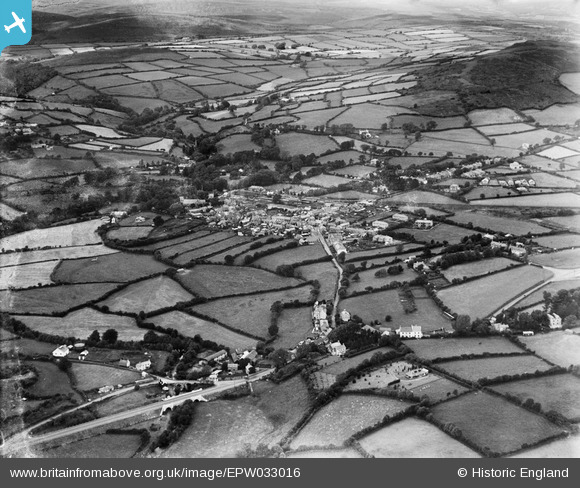
EPW033016 ENGLAND (1930). The village and surrounding countryside, South Brent, 1930
© Hawlfraint cyfranwyr OpenStreetMap a thrwyddedwyd gan yr OpenStreetMap Foundation. 2026. Trwyddedir y gartograffeg fel CC BY-SA.
Delweddau cyfagos (3)
EPW033016

EPW033014

EPW033015

Manylion
| Pennawd | [EPW033016] The village and surrounding countryside, South Brent, 1930 |
| Cyfeirnod | EPW033016 |
| Dyddiad | July-1930 |
| Dolen | |
| Enw lle | SOUTH BRENT |
| Plwyf | SOUTH BRENT |
| Ardal | |
| Gwlad | ENGLAND |
| Dwyreiniad / Gogleddiad | 269792, 60076 |
| Hydred / Lledred | -3.8333081714087, 50.425481331903 |
| Cyfeirnod Grid Cenedlaethol | SX698601 |
Pinnau
Byddwch y cyntaf i ychwanegu sylw at y ddelwedd hon!