
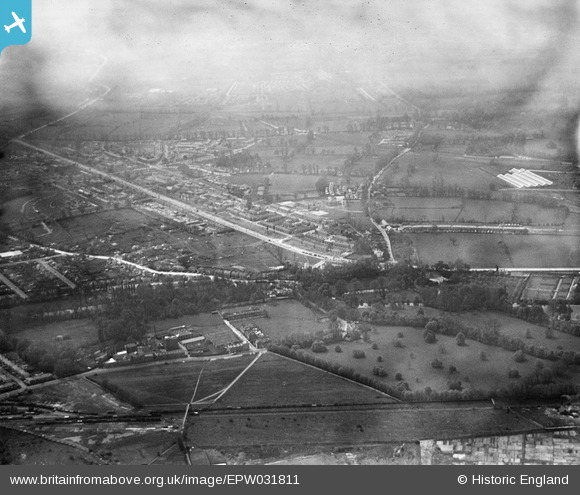
EPW031811 ENGLAND (1930). St Helier and environs, Morden, from the north-east, 1930
© Hawlfraint cyfranwyr OpenStreetMap a thrwyddedwyd gan yr OpenStreetMap Foundation. 2026. Trwyddedir y gartograffeg fel CC BY-SA.
Delweddau cyfagos (7)
EPW031811

EPW016579

EPW016579
EPW016580

EPW016580
EPW016578

EPW016578
Manylion
| Pennawd | [EPW031811] St Helier and environs, Morden, from the north-east, 1930 |
| Cyfeirnod | EPW031811 |
| Dyddiad | May-1930 |
| Dolen | |
| Enw lle | MORDEN |
| Plwyf | |
| Ardal | |
| Gwlad | ENGLAND |
| Dwyreiniad / Gogleddiad | 526505, 168311 |
| Hydred / Lledred | -0.18126224597644, 51.399212151106 |
| Cyfeirnod Grid Cenedlaethol | TQ265683 |
Pinnau

Dave Smith |
Tuesday 18th of June 2013 12:28:10 PM | |
|
Dave Smith |
Tuesday 18th of June 2013 12:26:53 PM | |
|
Dave Smith |
Tuesday 18th of June 2013 12:25:51 PM | |
|
Dave Smith |
Tuesday 18th of June 2013 12:24:17 PM | |
|
Dave Smith |
Tuesday 18th of June 2013 12:22:03 PM | |
|
Dave Smith |
Tuesday 18th of June 2013 12:21:40 PM | |
|
Dave Smith |
Tuesday 18th of June 2013 12:20:56 PM | |
|
Dave Smith |
Tuesday 18th of June 2013 12:19:51 PM | |
|
Dave Smith |
Tuesday 18th of June 2013 12:18:02 PM | |
|
Dave Smith |
Tuesday 18th of June 2013 12:17:35 PM |