
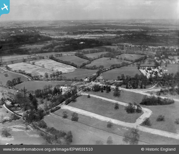
EPW031510 ENGLAND (1930). Abbotshall Avenue, Chandos Avenue and surrounding countryside, New Southgate, from the south, 1930
© Hawlfraint cyfranwyr OpenStreetMap a thrwyddedwyd gan yr OpenStreetMap Foundation. 2026. Trwyddedir y gartograffeg fel CC BY-SA.
Delweddau cyfagos (2)
EPW031510

EPW035555

Manylion
| Pennawd | [EPW031510] Abbotshall Avenue, Chandos Avenue and surrounding countryside, New Southgate, from the south, 1930 |
| Cyfeirnod | EPW031510 |
| Dyddiad | February-1930 |
| Dolen | |
| Enw lle | NEW SOUTHGATE |
| Plwyf | |
| Ardal | |
| Gwlad | ENGLAND |
| Dwyreiniad / Gogleddiad | 529265, 193135 |
| Hydred / Lledred | -0.13250157972528, 51.621701334217 |
| Cyfeirnod Grid Cenedlaethol | TQ293931 |
Pinnau
Byddwch y cyntaf i ychwanegu sylw at y ddelwedd hon!