
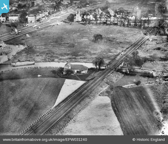
EPW031240 ENGLAND (1930). The Grand Union Canal, the Southern Railway Loop Line and the Great West Road, Brentford, 1930
© Hawlfraint cyfranwyr OpenStreetMap a thrwyddedwyd gan yr OpenStreetMap Foundation. 2026. Trwyddedir y gartograffeg fel CC BY-SA.
Delweddau cyfagos (31)
EPW031240

EPW031244

EPW031241

EPW031243

EPW052234

EPW057074

EPW057077

EPW052233

EPW034930

EPW057078

EPW034931

EPW057076

EPW052239

EPW057075

EPW052236

EPW057073

EPW052240

EPW052235

EPW052238

EPW035096

EPW052237

EPW031242

EPW049467

EPW049473

EPW049470

EPW049471

EPW049472

EPW031245

EPW049468

EPW049469

EPW025230

Manylion
| Pennawd | [EPW031240] The Grand Union Canal, the Southern Railway Loop Line and the Great West Road, Brentford, 1930 |
| Cyfeirnod | EPW031240 |
| Dyddiad | 6-February-1930 |
| Dolen | |
| Enw lle | BRENTFORD |
| Plwyf | |
| Ardal | |
| Gwlad | ENGLAND |
| Dwyreiniad / Gogleddiad | 517098, 177695 |
| Hydred / Lledred | -0.31333432813011, 51.485582415303 |
| Cyfeirnod Grid Cenedlaethol | TQ171777 |
Pinnau

Mozzy |
Sunday 28th of December 2014 10:41:32 PM | |
|
D Figueiredo |
Thursday 20th of December 2012 12:07:59 PM | |
|
D Figueiredo |
Thursday 20th of December 2012 12:07:34 PM |