
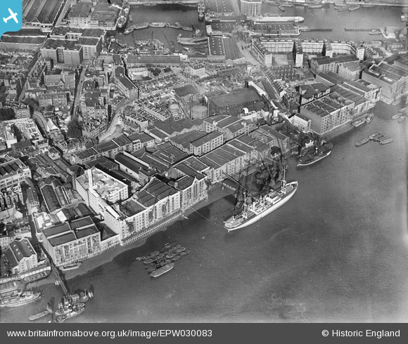
EPW030083 ENGLAND (1929). The Middleton and St Bride's Wharf, Gun Wharves and environs, Wapping, 1929
© Hawlfraint cyfranwyr OpenStreetMap a thrwyddedwyd gan yr OpenStreetMap Foundation. 2026. Trwyddedir y gartograffeg fel CC BY-SA.
Delweddau cyfagos (22)
EPW030083

EPW030082

EPW030085

EPW007730

EPW030081

EPW030084

EPW030086

EPW030087

EPW030080

EPW007733

EPW007752

EPW007732

EPW007731

EPW032749

EPW007753

EPW032748

EPW007729

EPW032751

EAW022335

EAW016653

EPW032750

EPW007026

Manylion
| Pennawd | [EPW030083] The Middleton and St Bride's Wharf, Gun Wharves and environs, Wapping, 1929 |
| Cyfeirnod | EPW030083 |
| Dyddiad | October-1929 |
| Dolen | |
| Enw lle | WAPPING |
| Plwyf | |
| Ardal | |
| Gwlad | ENGLAND |
| Dwyreiniad / Gogleddiad | 535047, 180205 |
| Hydred / Lledred | -0.053988031750008, 51.504138811837 |
| Cyfeirnod Grid Cenedlaethol | TQ350802 |
Pinnau

Pootling Around |
Tuesday 12th of January 2021 08:37:33 PM | |
|
Bobby |
Wednesday 13th of August 2014 02:25:55 PM | |
|
Dennis Jackson |
Thursday 17th of January 2013 01:32:40 PM | |
|
Dennis Jackson |
Thursday 17th of January 2013 01:31:35 PM |