
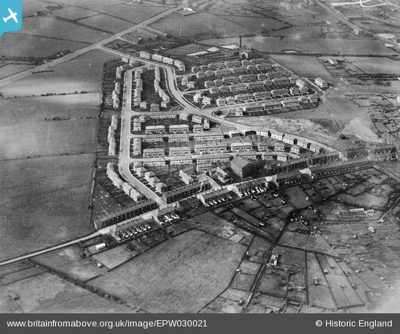
EPW030021 ENGLAND (1929). The Stoops Estate, Burnley, 1929
© Hawlfraint cyfranwyr OpenStreetMap a thrwyddedwyd gan yr OpenStreetMap Foundation. 2026. Trwyddedir y gartograffeg fel CC BY-SA.
Delweddau cyfagos (3)
EPW030021

EPW030019

EPW030020

Manylion
| Pennawd | [EPW030021] The Stoops Estate, Burnley, 1929 |
| Cyfeirnod | EPW030021 |
| Dyddiad | October-1929 |
| Dolen | |
| Enw lle | BURNLEY |
| Plwyf | |
| Ardal | |
| Gwlad | ENGLAND |
| Dwyreiniad / Gogleddiad | 382498, 431807 |
| Hydred / Lledred | -2.2656447208055, 53.782078859304 |
| Cyfeirnod Grid Cenedlaethol | SD825318 |
Pinnau
Byddwch y cyntaf i ychwanegu sylw at y ddelwedd hon!