
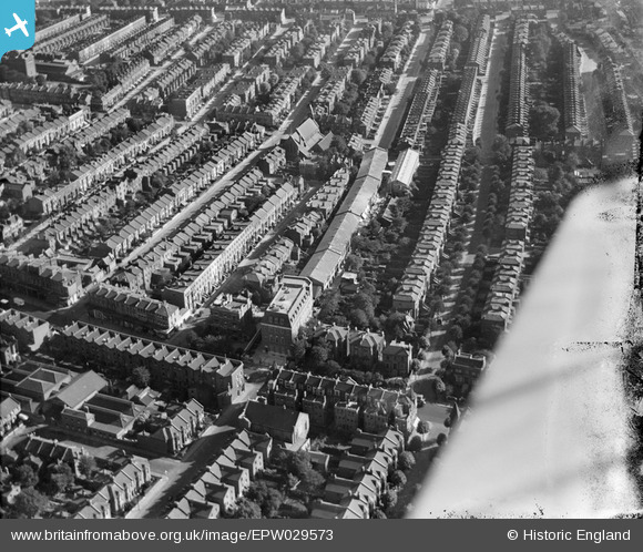
EPW029573 ENGLAND (1929). The Brilliant Sign Co Paragon Works and environs, Shepherd's Bush, 1929
© Hawlfraint cyfranwyr OpenStreetMap a thrwyddedwyd gan yr OpenStreetMap Foundation. 2026. Trwyddedir y gartograffeg fel CC BY-SA.
Delweddau cyfagos (9)
EPW029573

EPW029574

EPW029572

EPW029578

EPW029579

EPW029571

EPW029576

EPW029575

EPW029577

Manylion
| Pennawd | [EPW029573] The Brilliant Sign Co Paragon Works and environs, Shepherd's Bush, 1929 |
| Cyfeirnod | EPW029573 |
| Dyddiad | September-1929 |
| Dolen | |
| Enw lle | SHEPHERD'S BUSH |
| Plwyf | |
| Ardal | |
| Gwlad | ENGLAND |
| Dwyreiniad / Gogleddiad | 522643, 180013 |
| Hydred / Lledred | -0.23269895872554, 51.505241607972 |
| Cyfeirnod Grid Cenedlaethol | TQ226800 |
Pinnau
Cyfraniadau Grŵp
View looking south. |

Class31 |
Wednesday 19th of March 2014 08:57:52 AM |