
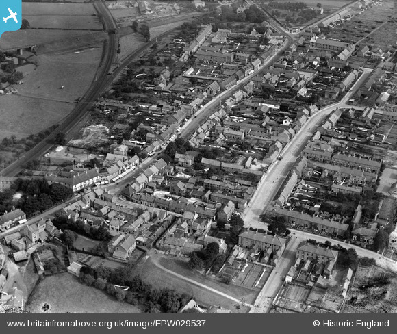
EPW029537 ENGLAND (1929). Commercial Street and environs, Norton-on-Derwent, 1929
© Hawlfraint cyfranwyr OpenStreetMap a thrwyddedwyd gan yr OpenStreetMap Foundation. 2026. Trwyddedir y gartograffeg fel CC BY-SA.
Delweddau cyfagos (3)
EPW029537

EPW048545

EPW029535

Manylion
| Pennawd | [EPW029537] Commercial Street and environs, Norton-on-Derwent, 1929 |
| Cyfeirnod | EPW029537 |
| Dyddiad | September-1929 |
| Dolen | |
| Enw lle | NORTON-ON-DERWENT |
| Plwyf | NORTON-ON-DERWENT |
| Ardal | |
| Gwlad | ENGLAND |
| Dwyreiniad / Gogleddiad | 479413, 471362 |
| Hydred / Lledred | -0.78451642483894, 54.131787890842 |
| Cyfeirnod Grid Cenedlaethol | SE794714 |
Pinnau
Byddwch y cyntaf i ychwanegu sylw at y ddelwedd hon!