
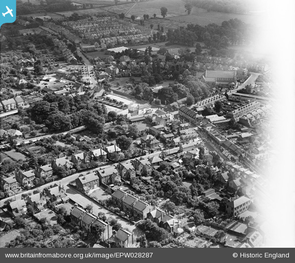
EPW028287 ENGLAND (1929). The High Street and environs, Sidcup, 1929
© Hawlfraint cyfranwyr OpenStreetMap a thrwyddedwyd gan yr OpenStreetMap Foundation. 2026. Trwyddedir y gartograffeg fel CC BY-SA.
Delweddau cyfagos (3)
EPW028287

EPW028279

EPW028283

Manylion
| Pennawd | [EPW028287] The High Street and environs, Sidcup, 1929 |
| Cyfeirnod | EPW028287 |
| Dyddiad | August-1929 |
| Dolen | |
| Enw lle | SIDCUP |
| Plwyf | |
| Ardal | |
| Gwlad | ENGLAND |
| Dwyreiniad / Gogleddiad | 546465, 171698 |
| Hydred / Lledred | 0.10690385644492, 51.424846898997 |
| Cyfeirnod Grid Cenedlaethol | TQ465717 |
Pinnau

Barney |
Saturday 14th of September 2019 01:17:05 PM | |
|
Barney |
Saturday 14th of September 2019 01:12:31 PM | |
|
Barney |
Saturday 14th of September 2019 01:08:15 PM | |
|
Barney |
Saturday 14th of September 2019 01:06:53 PM | |
|
Barney |
Saturday 14th of September 2019 01:06:16 PM | |
|
Barney |
Saturday 14th of September 2019 01:05:40 PM | |
|
Barney |
Saturday 19th of May 2018 01:22:07 PM | |

Broom1 |
Tuesday 16th of February 2016 10:03:13 PM | |
|
Stephen Challis |
Saturday 14th of February 2015 01:16:17 PM | |
|
Stephen Challis |
Saturday 14th of February 2015 01:15:32 PM | |
|
Stephen Challis |
Saturday 14th of February 2015 01:15:06 PM | |
This can't be Sidcup Hill, Thats got to be Maidstone rd, Ruxley round about |
Bazman |
Friday 1st of January 2016 07:50:07 PM |
|
Stephen Challis |
Saturday 14th of February 2015 01:13:17 PM | |
|
Stephen Challis |
Saturday 14th of February 2015 01:12:45 PM | |
|
Gone2Kent |
Sunday 2nd of February 2014 04:54:20 PM | |
|
Gone2Kent |
Sunday 2nd of February 2014 04:50:56 PM |
