
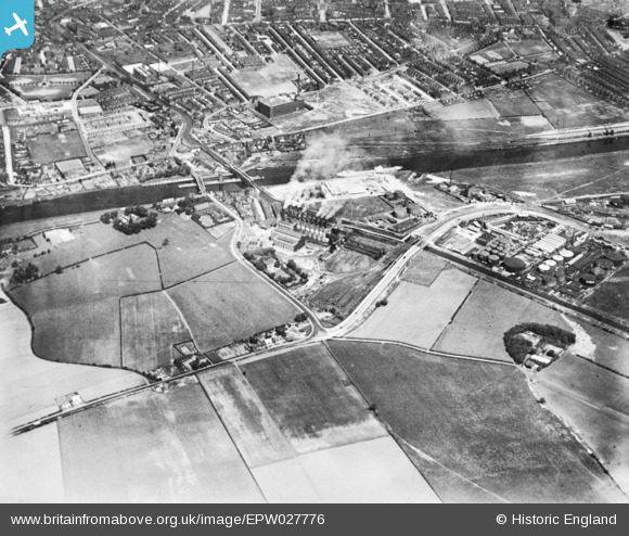
EPW027776 ENGLAND (1929). Barton Power Station and environs, Dumplington, 1929. This image has been produced from a copy-negative.
© Hawlfraint cyfranwyr OpenStreetMap a thrwyddedwyd gan yr OpenStreetMap Foundation. 2026. Trwyddedir y gartograffeg fel CC BY-SA.
Delweddau cyfagos (9)
EPW027776

EPW027510

EPW041532

EPW041531

EAW006232

EPW041530

EAW000111

EPW031020

EAW006233

Manylion
| Pennawd | [EPW027776] Barton Power Station and environs, Dumplington, 1929. This image has been produced from a copy-negative. |
| Cyfeirnod | EPW027776 |
| Dyddiad | June-1929 |
| Dolen | |
| Enw lle | DUMPLINGTON |
| Plwyf | |
| Ardal | |
| Gwlad | ENGLAND |
| Dwyreiniad / Gogleddiad | 376863, 397333 |
| Hydred / Lledred | -2.348607674848, 53.471968564031 |
| Cyfeirnod Grid Cenedlaethol | SJ769973 |
Pinnau
Byddwch y cyntaf i ychwanegu sylw at y ddelwedd hon!