
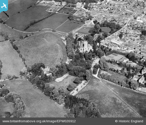
EPW026912 ENGLAND (1929). St Mary's Church and Chipping Norton Castle, Chipping Norton, 1929
© Hawlfraint cyfranwyr OpenStreetMap a thrwyddedwyd gan yr OpenStreetMap Foundation. 2026. Trwyddedir y gartograffeg fel CC BY-SA.
Delweddau cyfagos (4)
EPW026912

EPW026914

EAW049010

EPW026913

Manylion
| Pennawd | [EPW026912] St Mary's Church and Chipping Norton Castle, Chipping Norton, 1929 |
| Cyfeirnod | EPW026912 |
| Dyddiad | May-1929 |
| Dolen | |
| Enw lle | CHIPPING NORTON |
| Plwyf | CHIPPING NORTON |
| Ardal | |
| Gwlad | ENGLAND |
| Dwyreiniad / Gogleddiad | 431103, 227367 |
| Hydred / Lledred | -1.547462150211, 51.943500585983 |
| Cyfeirnod Grid Cenedlaethol | SP311274 |
Pinnau
Byddwch y cyntaf i ychwanegu sylw at y ddelwedd hon!