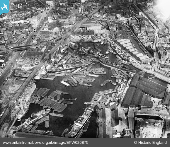
EPW026875 ENGLAND (1929). Regent's Canal Dock, Limehouse, 1929
© Hawlfraint cyfranwyr OpenStreetMap a thrwyddedwyd gan yr OpenStreetMap Foundation. 2026. Trwyddedir y gartograffeg fel CC BY-SA.
Delweddau cyfagos (12)
EPW026875

EPW021383

EPW026873

EAW022340

EPW021381

EPW026871

EPW021385

EPW021386

EPW021384

EPW026874

EPW021380

EAW022341

Manylion
| Pennawd | [EPW026875] Regent's Canal Dock, Limehouse, 1929 |
| Cyfeirnod | EPW026875 |
| Dyddiad | May-1929 |
| Dolen | |
| Enw lle | LIMEHOUSE |
| Plwyf | |
| Ardal | |
| Gwlad | ENGLAND |
| Dwyreiniad / Gogleddiad | 536368, 180994 |
| Hydred / Lledred | -0.034659389740717, 51.51091245908 |
| Cyfeirnod Grid Cenedlaethol | TQ364810 |
Pinnau

Class31 |
Tuesday 1st of September 2015 08:18:24 AM | |
|
Class31 |
Tuesday 1st of September 2015 08:17:30 AM | |
|
Class31 |
Tuesday 1st of September 2015 08:16:50 AM | |

moses72 |
Wednesday 28th of August 2013 07:51:41 PM | |
|
moses72 |
Wednesday 28th of August 2013 07:51:02 PM | |
|
moses72 |
Wednesday 28th of August 2013 07:50:27 PM | |
|
Class31 |
Thursday 6th of December 2012 08:02:50 PM | |
|
Class31 |
Thursday 6th of December 2012 08:01:59 PM | |
|
Class31 |
Thursday 6th of December 2012 08:01:23 PM | |
|
Class31 |
Wednesday 5th of December 2012 10:50:09 PM |