
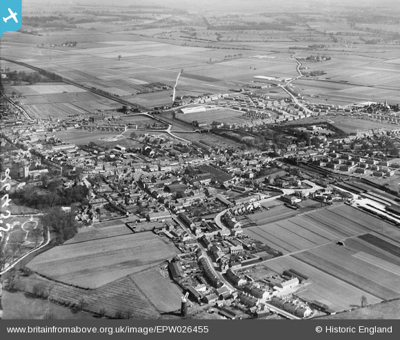
EPW026455 ENGLAND (1929). The town, Biggleswade, from the south-west, 1929
© Hawlfraint cyfranwyr OpenStreetMap a thrwyddedwyd gan yr OpenStreetMap Foundation. 2026. Trwyddedir y gartograffeg fel CC BY-SA.
Delweddau cyfagos (2)
EPW026455

EPW026456

Manylion
| Pennawd | [EPW026455] The town, Biggleswade, from the south-west, 1929 |
| Cyfeirnod | EPW026455 |
| Dyddiad | May-1929 |
| Dolen | |
| Enw lle | BIGGLESWADE |
| Plwyf | BIGGLESWADE |
| Ardal | |
| Gwlad | ENGLAND |
| Dwyreiniad / Gogleddiad | 518955, 244237 |
| Hydred / Lledred | -0.26378410948049, 52.083273824362 |
| Cyfeirnod Grid Cenedlaethol | TL190442 |
Pinnau

Rupples |
Friday 11th of June 2021 11:50:25 PM | |
|
Rupples |
Friday 11th of June 2021 11:47:33 PM | |
|
John W |
Friday 27th of January 2017 08:10:11 PM | |
|
Archivist |
Friday 18th of December 2015 08:07:23 AM | |
|
AndyB |
Wednesday 4th of March 2015 08:56:02 PM | |
|
John Wass |
Sunday 25th of January 2015 08:24:45 PM | |
|
Chells809 |
Tuesday 16th of July 2013 10:05:05 PM | |
|
Chells809 |
Thursday 22nd of November 2012 09:54:19 PM |