
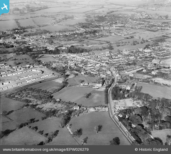
EPW026279 ENGLAND (1929). The town, Chertsey, from the south-west, 1929
© Hawlfraint cyfranwyr OpenStreetMap a thrwyddedwyd gan yr OpenStreetMap Foundation. 2026. Trwyddedir y gartograffeg fel CC BY-SA.
Delweddau cyfagos (2)
EPW026279

EPW026278

Manylion
| Pennawd | [EPW026279] The town, Chertsey, from the south-west, 1929 |
| Cyfeirnod | EPW026279 |
| Dyddiad | 25-April-1929 |
| Dolen | |
| Enw lle | CHERTSEY |
| Plwyf | |
| Ardal | |
| Gwlad | ENGLAND |
| Dwyreiniad / Gogleddiad | 503490, 166319 |
| Hydred / Lledred | -0.51259216248187, 51.385971777018 |
| Cyfeirnod Grid Cenedlaethol | TQ035663 |
Pinnau
Byddwch y cyntaf i ychwanegu sylw at y ddelwedd hon!