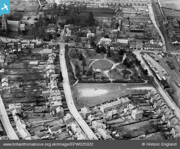
EPW025922 ENGLAND (1929). Halstead Public Gardens, Halstead, 1929
    © Hawlfraint cyfranwyr OpenStreetMap a thrwyddedwyd gan yr OpenStreetMap Foundation. 2025. Trwyddedir y gartograffeg fel CC BY-SA.
  
Manylion
| Pennawd | [EPW025922] Halstead Public Gardens, Halstead, 1929 | 
| Cyfeirnod | EPW025922 | 
| Dyddiad | 3-May-1929 | 
| Dolen | |
| Enw lle | HALSTEAD | 
| Plwyf | HALSTEAD | 
| Ardal | |
| Gwlad | ENGLAND | 
| Dwyreiniad / Gogleddiad | 581019, 230415 | 
| Hydred / Lledred | 0.63390932871322, 51.942309687099 | 
| Cyfeirnod Grid Cenedlaethol | TL810304 | 
 
             
  ![[EPW025922] Halstead Public Gardens, Halstead, 1929](http://britainfromabove.org.uk/sites/all/libraries/aerofilms-images/public/100x100/EPW/025/EPW025922.jpg) 
  
                                          ![[EPW025925] The town, Halstead, from the south-west, 1929](http://britainfromabove.org.uk/sites/all/libraries/aerofilms-images/public/100x100/EPW/025/EPW025925.jpg) 
 ![[EPW025924] Bridge Street and the station, Halstead, 1929](http://britainfromabove.org.uk/sites/all/libraries/aerofilms-images/public/100x100/EPW/025/EPW025924.jpg) 
 ![[EPW025919] Holy Trinity Church and environs, Halstead, 1929](http://britainfromabove.org.uk/sites/all/libraries/aerofilms-images/public/100x100/EPW/025/EPW025919.jpg) 
  Municipal allotments.
 Municipal allotments.