
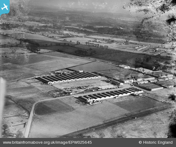
EPW025645 ENGLAND (1929). The Slough Trading Estate, Slough, from the south-west, 1929
© Hawlfraint cyfranwyr OpenStreetMap a thrwyddedwyd gan yr OpenStreetMap Foundation. 2026. Trwyddedir y gartograffeg fel CC BY-SA.
Delweddau cyfagos (19)
EPW025645

EPW061038

EPW061037

EPW061041

EPW055322

EPW055325

EPW061036

EPW055323

EPW055327

EPW000022

EPW061040

EPW061039

EPW055326

EPW055324

EPW025641

EPW000020

EPW000031

EPW000028

EPW015617

Manylion
| Pennawd | [EPW025645] The Slough Trading Estate, Slough, from the south-west, 1929 |
| Cyfeirnod | EPW025645 |
| Dyddiad | 26-January-1929 |
| Dolen | |
| Enw lle | SLOUGH |
| Plwyf | |
| Ardal | |
| Gwlad | ENGLAND |
| Dwyreiniad / Gogleddiad | 494707, 181396 |
| Hydred / Lledred | -0.63474752418573, 51.523048445445 |
| Cyfeirnod Grid Cenedlaethol | SU947814 |
Pinnau

dave43 |
Wednesday 12th of September 2012 08:03:40 PM |
Cyfraniadau Grŵp
Note estate is mostly clear of vehicles from WWI, see earlier pics |
dave43 |
Wednesday 12th of September 2012 08:04:44 PM |