
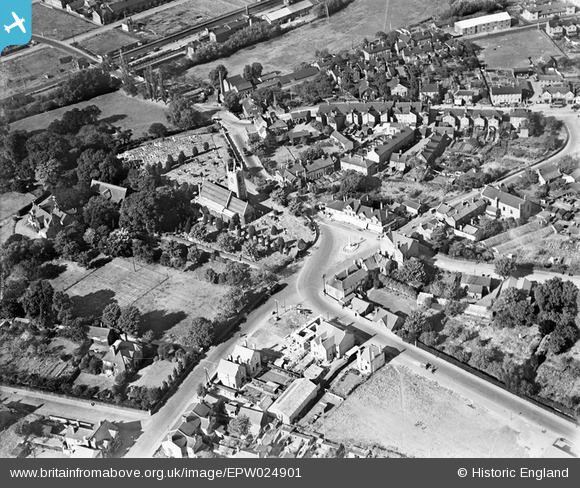
EPW024901 ENGLAND (1928). St Margaret's Church and the town centre, Stanford-le-Hope, 1928
© Hawlfraint cyfranwyr OpenStreetMap a thrwyddedwyd gan yr OpenStreetMap Foundation. 2026. Trwyddedir y gartograffeg fel CC BY-SA.
Delweddau cyfagos (7)
EPW024901

EPW024904

EAW043663

EAW043662

EPW024899

EAW043660

EPW024902

Manylion
| Pennawd | [EPW024901] St Margaret's Church and the town centre, Stanford-le-Hope, 1928 |
| Cyfeirnod | EPW024901 |
| Dyddiad | 3-October-1928 |
| Dolen | |
| Enw lle | STANFORD-LE-HOPE |
| Plwyf | |
| Ardal | |
| Gwlad | ENGLAND |
| Dwyreiniad / Gogleddiad | 568477, 182274 |
| Hydred / Lledred | 0.4283040379729, 51.513750880351 |
| Cyfeirnod Grid Cenedlaethol | TQ685823 |
Pinnau

Bandon |
Tuesday 15th of September 2020 03:35:06 PM | |
|
Gill.C |
Sunday 13th of September 2015 06:10:31 PM | |
|
BigglesH |
Monday 16th of July 2012 09:55:08 PM | |
|
BigglesH |
Monday 16th of July 2012 09:53:14 PM | |
|
BigglesH |
Monday 16th of July 2012 09:52:22 PM | |
|
BigglesH |
Monday 16th of July 2012 09:48:16 PM | |
|
BigglesH |
Monday 16th of July 2012 09:47:36 PM |