
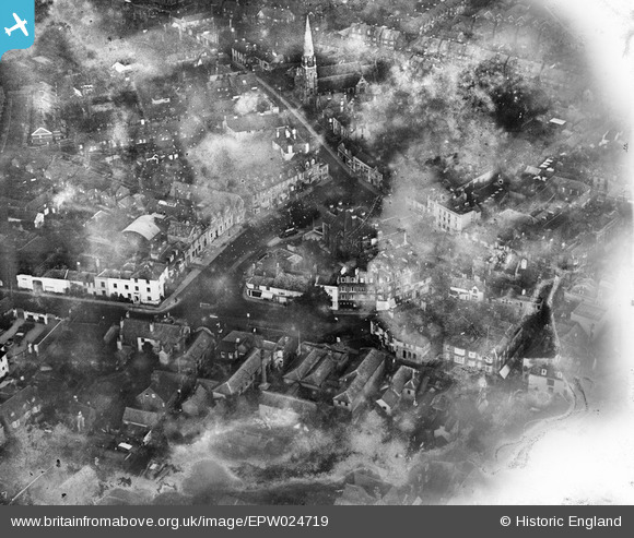
EPW024719 ENGLAND (1928). The town centre, Horsham, 1928. This image has been produced from a damaged negative.
© Hawlfraint cyfranwyr OpenStreetMap a thrwyddedwyd gan yr OpenStreetMap Foundation. 2026. Trwyddedir y gartograffeg fel CC BY-SA.
Delweddau cyfagos (12)
EPW024719

EAW028785

EPW024717

EPW039507

EAW028786

EPW039506

EAW028787

EAW037050

EAW039309

EPW039508

EPW039510

EAW039310

Manylion
| Pennawd | [EPW024719] The town centre, Horsham, 1928. This image has been produced from a damaged negative. |
| Cyfeirnod | EPW024719 |
| Dyddiad | September-1928 |
| Dolen | |
| Enw lle | HORSHAM |
| Plwyf | |
| Ardal | |
| Gwlad | ENGLAND |
| Dwyreiniad / Gogleddiad | 517266, 130620 |
| Hydred / Lledred | -0.32636484760819, 51.062391406952 |
| Cyfeirnod Grid Cenedlaethol | TQ173306 |
Pinnau

Dan Gregory |
Thursday 7th of January 2021 06:14:53 PM | |
|
Dan Gregory |
Thursday 7th of January 2021 06:14:16 PM | |
|
Dan Gregory |
Monday 2nd of June 2014 09:51:54 PM | |
|
Biggles1951 |
Tuesday 20th of November 2012 12:42:48 PM | |
|
Biggles1951 |
Tuesday 20th of November 2012 12:41:10 PM |