
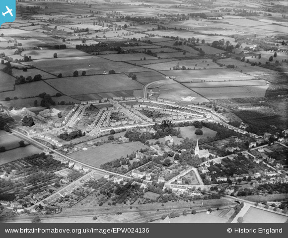
EPW024136 ENGLAND (1928). St Mark's Estate, Cheltenham, from the south, 1928
© Hawlfraint cyfranwyr OpenStreetMap a thrwyddedwyd gan yr OpenStreetMap Foundation. 2026. Trwyddedir y gartograffeg fel CC BY-SA.
Delweddau cyfagos (3)
EPW024136

EPW048201

EPW048202

Manylion
| Pennawd | [EPW024136] St Mark's Estate, Cheltenham, from the south, 1928 |
| Cyfeirnod | EPW024136 |
| Dyddiad | September-1928 |
| Dolen | |
| Enw lle | CHELTENHAM |
| Plwyf | |
| Ardal | |
| Gwlad | ENGLAND |
| Dwyreiniad / Gogleddiad | 392703, 221927 |
| Hydred / Lledred | -2.1060551818431, 51.895406735017 |
| Cyfeirnod Grid Cenedlaethol | SO927219 |
Pinnau

Richcl |
Sunday 5th of May 2013 12:04:47 PM | |
|
Richcl |
Sunday 5th of May 2013 12:04:29 PM | |
|
Richcl |
Sunday 5th of May 2013 12:03:39 PM | |
|
Richcl |
Sunday 5th of May 2013 12:03:16 PM | |
|
Richcl |
Sunday 5th of May 2013 12:01:31 PM | |
|
Richcl |
Sunday 5th of May 2013 12:01:05 PM | |
|
Trebor |
Monday 27th of August 2012 02:39:58 AM | |
|
Trebor |
Monday 27th of August 2012 02:34:48 AM | |
|
Trebor |
Monday 27th of August 2012 02:33:44 AM | |
|
RichW |
Monday 25th of June 2012 08:23:23 PM |