
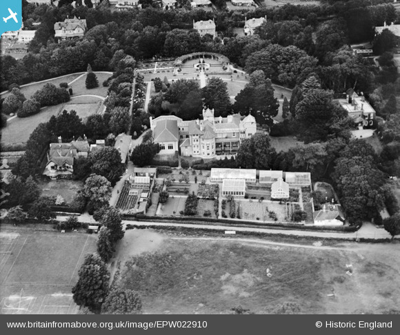
EPW022910 ENGLAND (1928). West Hill, Shanklin, 1928
© Hawlfraint cyfranwyr OpenStreetMap a thrwyddedwyd gan yr OpenStreetMap Foundation. 2026. Trwyddedir y gartograffeg fel CC BY-SA.
Delweddau cyfagos (4)
EPW022910

EPW022911

EPW043000

EPW024572

Manylion
| Pennawd | [EPW022910] West Hill, Shanklin, 1928 |
| Cyfeirnod | EPW022910 |
| Dyddiad | August-1928 |
| Dolen | |
| Enw lle | SHANKLIN |
| Plwyf | SHANKLIN |
| Ardal | |
| Gwlad | ENGLAND |
| Dwyreiniad / Gogleddiad | 457802, 80979 |
| Hydred / Lledred | -1.1827376605568, 50.625060733743 |
| Cyfeirnod Grid Cenedlaethol | SZ578810 |
