
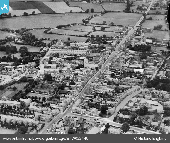
EPW022449 ENGLAND (1928). St Giles's Church and the High Street, Stony Stratford, 1928
© Hawlfraint cyfranwyr OpenStreetMap a thrwyddedwyd gan yr OpenStreetMap Foundation. 2026. Trwyddedir y gartograffeg fel CC BY-SA.
Delweddau cyfagos (8)
EPW022449

EPW022450

EPW022447

EPW036313

EPW036316

EPW022485

EPW036315

EPW036314

Manylion
| Pennawd | [EPW022449] St Giles's Church and the High Street, Stony Stratford, 1928 |
| Cyfeirnod | EPW022449 |
| Dyddiad | August-1928 |
| Dolen | |
| Enw lle | STONY STRATFORD |
| Plwyf | STONY STRATFORD |
| Ardal | |
| Gwlad | ENGLAND |
| Dwyreiniad / Gogleddiad | 478696, 240451 |
| Hydred / Lledred | -0.85209993641275, 52.056427822953 |
| Cyfeirnod Grid Cenedlaethol | SP787405 |
Pinnau

John W |
Sunday 7th of August 2016 05:29:22 PM | |
|
John W |
Sunday 7th of August 2016 05:27:21 PM | |
|
John W |
Sunday 7th of August 2016 05:25:38 PM |