
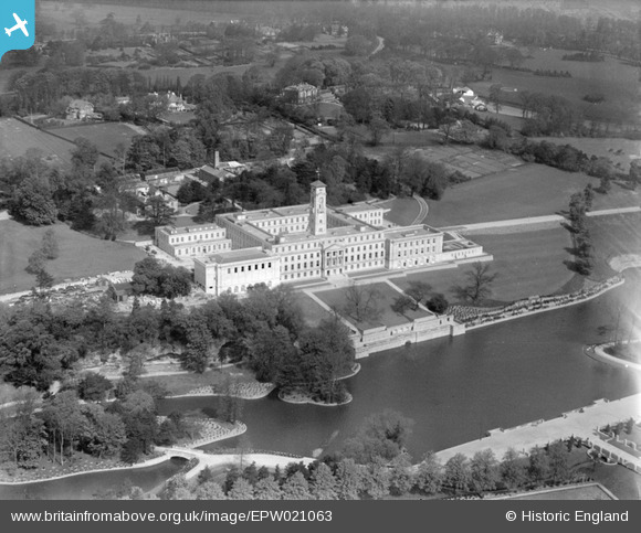
EPW021063 ENGLAND (1928). University College and Highfield House, Nottingham, from the south-east, 1928
© Hawlfraint cyfranwyr OpenStreetMap a thrwyddedwyd gan yr OpenStreetMap Foundation. 2026. Trwyddedir y gartograffeg fel CC BY-SA.
Delweddau cyfagos (20)
EPW021063

EPW019367

EAW044655

EPW019368

EPW021062

EPW019369

EPW021065

EPW021066

EPW019366

EPW021064

EPW019370

EPW021069

EAW006392

EPW020938

EPW021067

EAW006394

EAW006393

EPW021071

EPW021068

EPW021070

Manylion
| Pennawd | [EPW021063] University College and Highfield House, Nottingham, from the south-east, 1928 |
| Cyfeirnod | EPW021063 |
| Dyddiad | April-1928 |
| Dolen | |
| Enw lle | NOTTINGHAM |
| Plwyf | |
| Ardal | |
| Gwlad | ENGLAND |
| Dwyreiniad / Gogleddiad | 454151, 337923 |
| Hydred / Lledred | -1.1942178304572, 52.935654923224 |
| Cyfeirnod Grid Cenedlaethol | SK542379 |
Pinnau
Byddwch y cyntaf i ychwanegu sylw at y ddelwedd hon!