
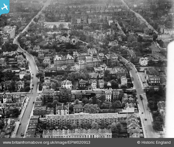
EPW020913 ENGLAND (1928). The Hospital of St John and St Elizabeth and environs, St John's Wood, 1928
© Hawlfraint cyfranwyr OpenStreetMap a thrwyddedwyd gan yr OpenStreetMap Foundation. 2026. Trwyddedir y gartograffeg fel CC BY-SA.
Delweddau cyfagos (13)
EPW020913

EPW020911

EPW020917

EPW020912

EPW020698

EPW020914

EPW020915

EPW020916

EPW020697

EPW020699

EAW044241

EAW018356

EPW045411

Manylion
| Pennawd | [EPW020913] The Hospital of St John and St Elizabeth and environs, St John's Wood, 1928 |
| Cyfeirnod | EPW020913 |
| Dyddiad | April-1928 |
| Dolen | |
| Enw lle | ST JOHN'S WOOD |
| Plwyf | |
| Ardal | |
| Gwlad | ENGLAND |
| Dwyreiniad / Gogleddiad | 526702, 183187 |
| Hydred / Lledred | -0.17309831972596, 51.532873621697 |
| Cyfeirnod Grid Cenedlaethol | TQ267832 |
Pinnau

Bob |
Wednesday 5th of March 2025 04:17:16 PM | |
|
Bob |
Wednesday 5th of March 2025 04:16:47 PM | |
|
Kathy Emery |
Monday 29th of April 2024 04:48:56 PM |