
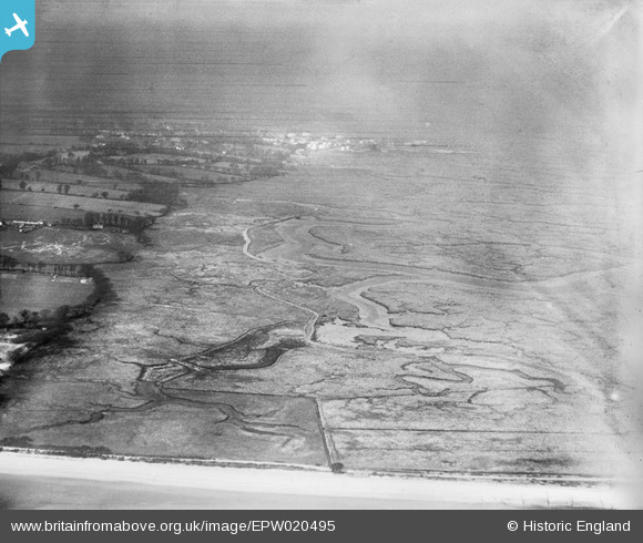
EPW020495 ENGLAND (1928). Ower Lake, Calshot, from the south-east, 1928
© Hawlfraint cyfranwyr OpenStreetMap a thrwyddedwyd gan yr OpenStreetMap Foundation. 2026. Trwyddedir y gartograffeg fel CC BY-SA.
Delweddau cyfagos (2)
EPW020495

EPW020493

Manylion
| Pennawd | [EPW020495] Ower Lake, Calshot, from the south-east, 1928 |
| Cyfeirnod | EPW020495 |
| Dyddiad | 16-March-1928 |
| Dolen | |
| Enw lle | CALSHOT |
| Plwyf | FAWLEY |
| Ardal | |
| Gwlad | ENGLAND |
| Dwyreiniad / Gogleddiad | 448178, 101629 |
| Hydred / Lledred | -1.3161025498251, 50.811642599476 |
| Cyfeirnod Grid Cenedlaethol | SU482016 |
Pinnau
Byddwch y cyntaf i ychwanegu sylw at y ddelwedd hon!