
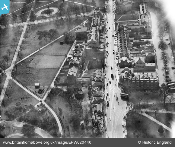
EPW020440 ENGLAND (1928). East Park and Above Bar Street, Southampton, 1928
© Hawlfraint cyfranwyr OpenStreetMap a thrwyddedwyd gan yr OpenStreetMap Foundation. 2026. Trwyddedir y gartograffeg fel CC BY-SA.
Delweddau cyfagos (8)
EPW020440

EPW020437

EPW020529

EPW059145

EPW020439

EPW059143

EPW042959

EPW059146

Manylion
| Pennawd | [EPW020440] East Park and Above Bar Street, Southampton, 1928 |
| Cyfeirnod | EPW020440 |
| Dyddiad | 16-March-1928 |
| Dolen | |
| Enw lle | SOUTHAMPTON |
| Plwyf | |
| Ardal | |
| Gwlad | ENGLAND |
| Dwyreiniad / Gogleddiad | 441976, 112279 |
| Hydred / Lledred | -1.402913945414, 50.907900911402 |
| Cyfeirnod Grid Cenedlaethol | SU420123 |
Pinnau

ARussel |
Saturday 18th of September 2021 09:19:11 PM | |
|
John Wass |
Wednesday 30th of December 2015 08:20:42 PM | |

Class31 |
Friday 3rd of August 2012 09:46:15 PM | |
|
Marc |
Monday 9th of July 2012 05:43:59 PM |