
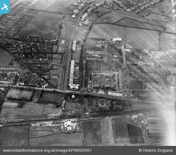
EPW020067 ENGLAND (1927). Public Assistance Institution (City General Hospital), Hartshill, 1927
© Hawlfraint cyfranwyr OpenStreetMap a thrwyddedwyd gan yr OpenStreetMap Foundation. 2026. Trwyddedir y gartograffeg fel CC BY-SA.
Delweddau cyfagos (2)
EPW020067
, Hartshill, 1927")
EPW041805

Manylion
| Pennawd | [EPW020067] Public Assistance Institution (City General Hospital), Hartshill, 1927 |
| Cyfeirnod | EPW020067 |
| Dyddiad | November-1927 |
| Dolen | |
| Enw lle | HARTSHILL |
| Plwyf | |
| Ardal | |
| Gwlad | ENGLAND |
| Dwyreiniad / Gogleddiad | 385552, 345238 |
| Hydred / Lledred | -2.2153276925418, 53.003955484712 |
| Cyfeirnod Grid Cenedlaethol | SJ856452 |
Pinnau

Tony W |
Tuesday 2nd of March 2021 10:38:14 AM | |
|
Tony W |
Tuesday 2nd of March 2021 10:37:44 AM | |
|
Tony W |
Tuesday 2nd of March 2021 10:37:34 AM | |
|
Tony W |
Tuesday 2nd of March 2021 10:36:54 AM | |
|
Tony W |
Tuesday 2nd of March 2021 10:36:36 AM | |
|
Tony W |
Tuesday 2nd of March 2021 10:36:11 AM | |
|
Tony W |
Tuesday 2nd of March 2021 10:35:54 AM |