
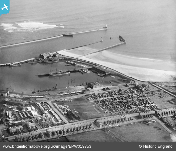
EPW019753 ENGLAND (1927). The South Harbour, Blyth, 1927
© Hawlfraint cyfranwyr OpenStreetMap a thrwyddedwyd gan yr OpenStreetMap Foundation. 2026. Trwyddedir y gartograffeg fel CC BY-SA.
Delweddau cyfagos (5)
EPW019753

EAW052312

EPW019751

EPW048821

EPW048836

Manylion
| Pennawd | [EPW019753] The South Harbour, Blyth, 1927 |
| Cyfeirnod | EPW019753 |
| Dyddiad | 18-October-1927 |
| Dolen | |
| Enw lle | BLYTH |
| Plwyf | BLYTH |
| Ardal | |
| Gwlad | ENGLAND |
| Dwyreiniad / Gogleddiad | 432233, 580603 |
| Hydred / Lledred | -1.4945672970444, 55.118708825239 |
| Cyfeirnod Grid Cenedlaethol | NZ322806 |
Pinnau

colin |
Thursday 28th of June 2012 07:09:30 PM |
Cyfraniadau Grŵp
hello-can anyone tell me=is it possible to purchase a photo? .....off the site |
kenny |
Tuesday 5th of March 2013 07:40:13 PM |