
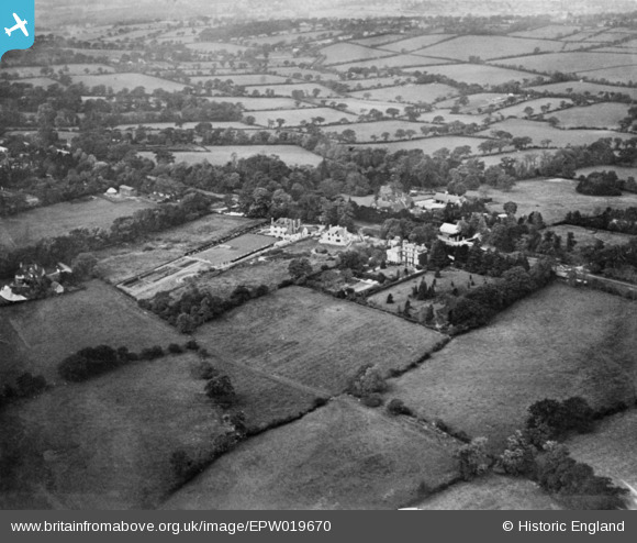
EPW019670 ENGLAND (1927). Totteridge Common and the surrounding countryside, Totteridge, 1927. This image has been produced from a copy-negative.
© Hawlfraint cyfranwyr OpenStreetMap a thrwyddedwyd gan yr OpenStreetMap Foundation. 2025. Trwyddedir y gartograffeg fel CC BY-SA.
Delweddau cyfagos (13)
EPW019670

EPW019632

EPW019669

EPW019638

EPW019671

EPW019679

EPW019676

EPW019674

EPW019673

EPW019639

EPW019631

EPW019675

EPW019634

Manylion
| Pennawd | [EPW019670] Totteridge Common and the surrounding countryside, Totteridge, 1927. This image has been produced from a copy-negative. |
| Cyfeirnod | EPW019670 |
| Dyddiad | 18-October-1927 |
| Dolen | |
| Enw lle | TOTTERIDGE |
| Plwyf | |
| Ardal | |
| Gwlad | ENGLAND |
| Dwyreiniad / Gogleddiad | 523637, 194125 |
| Hydred / Lledred | -0.21341649430994, 51.631864177221 |
| Cyfeirnod Grid Cenedlaethol | TQ236941 |
Pinnau
Byddwch y cyntaf i ychwanegu sylw at y ddelwedd hon!