
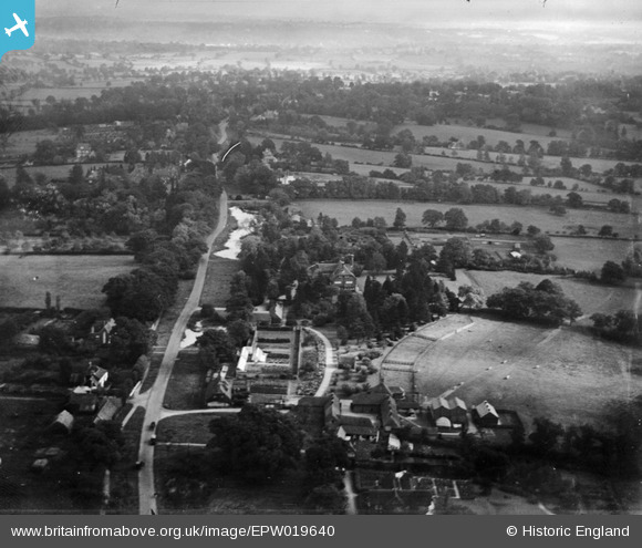
EPW019640 ENGLAND (1927). Ellern Mede Farm and Totteridge Lodge, Totteridge, from the west, 1927
© Hawlfraint cyfranwyr OpenStreetMap a thrwyddedwyd gan yr OpenStreetMap Foundation. 2025. Trwyddedir y gartograffeg fel CC BY-SA.
Delweddau cyfagos (7)
EPW019640

EPW019633

EPW019635

EPW019636

EPW019668

EPW019634

EPW019637

Manylion
| Pennawd | [EPW019640] Ellern Mede Farm and Totteridge Lodge, Totteridge, from the west, 1927 |
| Cyfeirnod | EPW019640 |
| Dyddiad | October-1927 |
| Dolen | |
| Enw lle | TOTTERIDGE |
| Plwyf | |
| Ardal | |
| Gwlad | ENGLAND |
| Dwyreiniad / Gogleddiad | 523211, 194008 |
| Hydred / Lledred | -0.21961026865569, 51.630906062058 |
| Cyfeirnod Grid Cenedlaethol | TQ232940 |
Pinnau
Byddwch y cyntaf i ychwanegu sylw at y ddelwedd hon!