
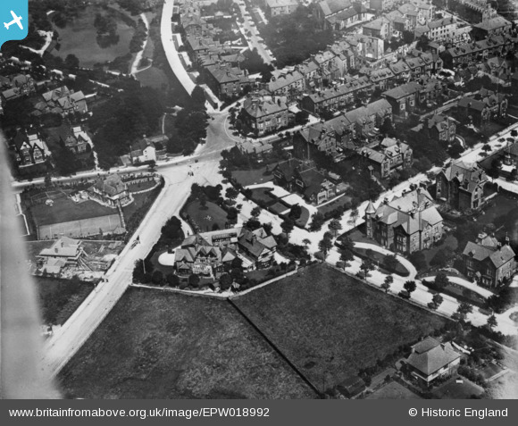
EPW018992 ENGLAND (1927). The junction of Temple Road and West Street, Buxton, 1927. This image has been produced from a copy-negative.
© Hawlfraint cyfranwyr OpenStreetMap a thrwyddedwyd gan yr OpenStreetMap Foundation. 2026. Trwyddedir y gartograffeg fel CC BY-SA.
Delweddau cyfagos (5)
EPW018992

EPW034104

EPW034112

EPW018986

EPW018987

Manylion
| Pennawd | [EPW018992] The junction of Temple Road and West Street, Buxton, 1927. This image has been produced from a copy-negative. |
| Cyfeirnod | EPW018992 |
| Dyddiad | 25-July-1927 |
| Dolen | |
| Enw lle | BUXTON |
| Plwyf | |
| Ardal | |
| Gwlad | ENGLAND |
| Dwyreiniad / Gogleddiad | 405453, 372861 |
| Hydred / Lledred | -1.9182603753854, 53.252453814377 |
| Cyfeirnod Grid Cenedlaethol | SK055729 |
Pinnau
Byddwch y cyntaf i ychwanegu sylw at y ddelwedd hon!