
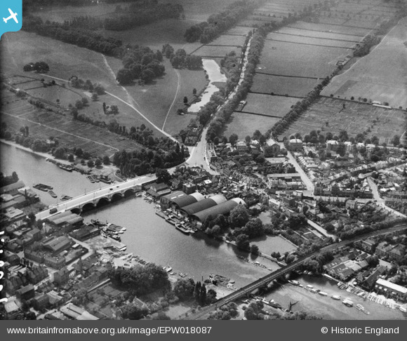
EPW018087 ENGLAND (1927). Kingston Bridge and the High Street, Hampton Wick, 1927
© Hawlfraint cyfranwyr OpenStreetMap a thrwyddedwyd gan yr OpenStreetMap Foundation. 2026. Trwyddedir y gartograffeg fel CC BY-SA.
Delweddau cyfagos (19)
EPW018087

EPW001724

EPW001721

EPW001722

EPW001726

EPW018088

EPW001723

EAW042762

EAW008244

EPW022858

EPW031972

EPW022855

EPW022856

EPW031975

EAW042763

EPW031973

EPW031976

EPW031969

EPW008868

Manylion
| Pennawd | [EPW018087] Kingston Bridge and the High Street, Hampton Wick, 1927 |
| Cyfeirnod | EPW018087 |
| Dyddiad | May-1927 |
| Dolen | |
| Enw lle | HAMPTON WICK |
| Plwyf | |
| Ardal | |
| Gwlad | ENGLAND |
| Dwyreiniad / Gogleddiad | 517549, 169406 |
| Hydred / Lledred | -0.30959547575819, 51.410981806709 |
| Cyfeirnod Grid Cenedlaethol | TQ175694 |
Pinnau


Cyfraniadau Grŵp

Kingston Bridge, 07/09/2015 |

Class31 |
Wednesday 9th of September 2015 12:32:15 PM |
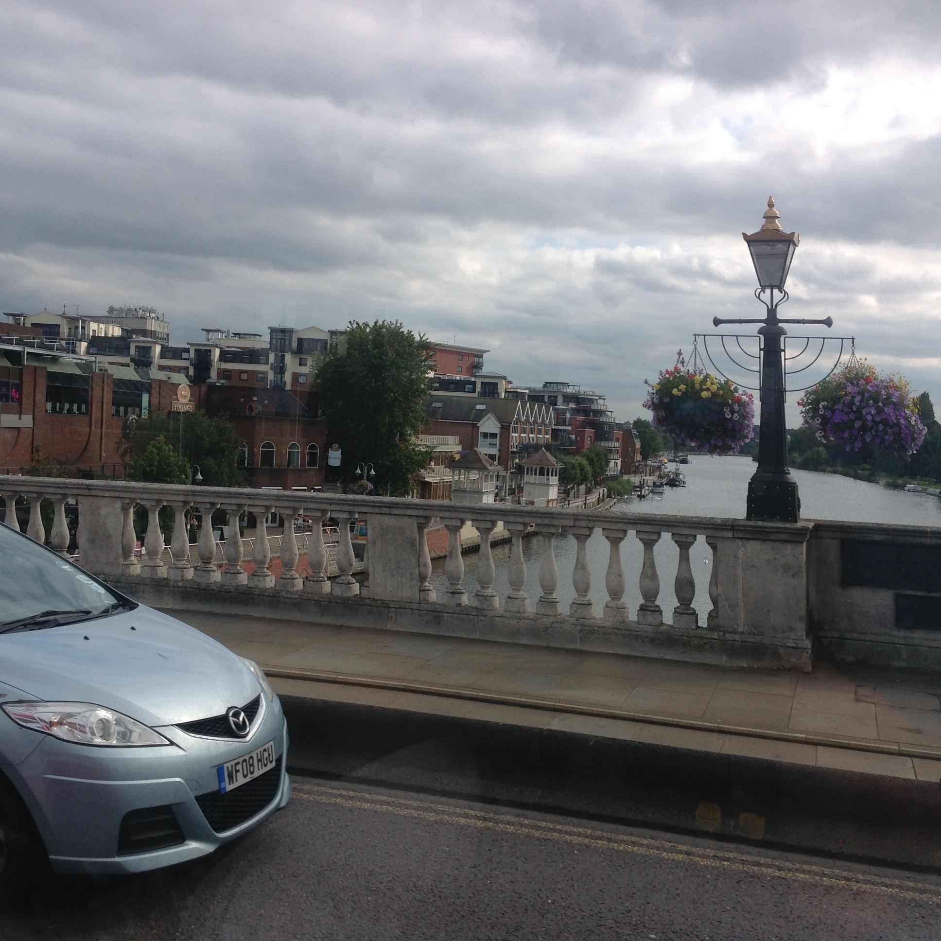
From Kingston Bridge, 07/09/2015 |
Class31 |
Wednesday 9th of September 2015 12:31:46 PM |
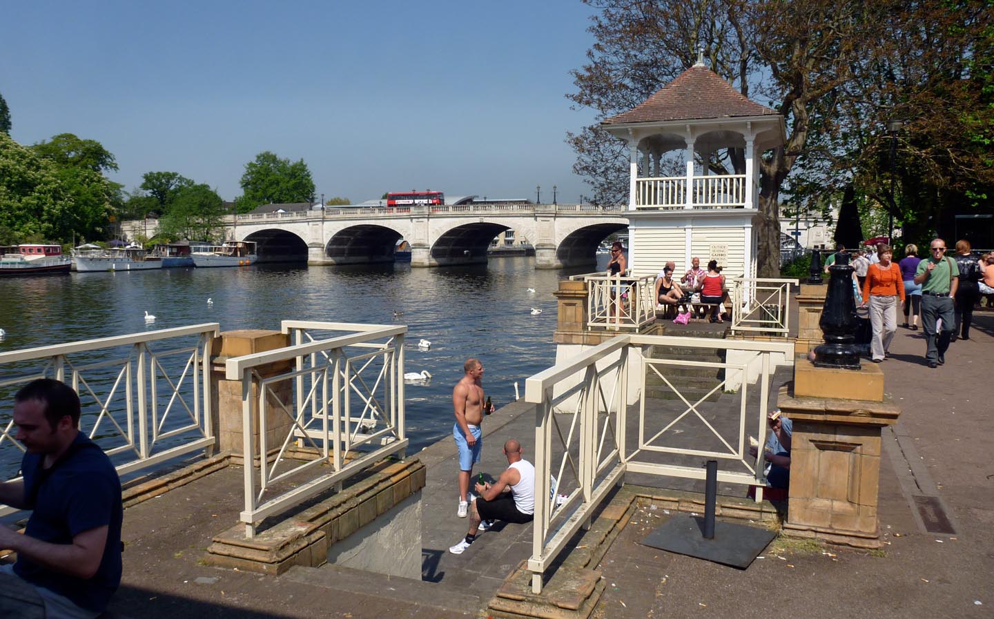
Kingston Bridge 2011 |

Alan McFaden |
Friday 7th of November 2014 04:30:15 PM |
Dear all, That’s great; we’ve reviewed your comments and thanks to your help we can update the catalogue. The original Aerofilms Ltd Register entry simply said "National Playing Fields Association". The revised record will appear here in due course, as for the others in the run. Many thanks! Katy Whitaker Britain from Above Cataloguer |
Katy Whitaker |
Monday 2nd of July 2012 03:56:54 PM |
This is Kingston Bridge over the Thames looking south west to Hampton Court and with Bushey Park in the top right. |

Ditton Don |
Thursday 28th of June 2012 07:51:13 PM |
Agreed definitely Kingston, looking towards Bushy Park. Forground is now covered by John Lewis. |
alany |
Thursday 28th of June 2012 03:17:01 PM |
This is definitely Kingston Bridge over the Thames taken from the Kingston side of the river. |
JJR |
Thursday 28th of June 2012 03:10:39 PM |
Kingston Bridge, Kingston upon Thames, looking towards Home Park. |
andersplot |
Tuesday 26th of June 2012 08:55:56 PM |
This is Kingston Bridge looking Southwest towards Hampton Court |
Oliver Heath |
Tuesday 26th of June 2012 03:00:44 PM |
Definitely Kingston-upon-Thames; road and railway bridges, timber yard (? Gridley Miskins) under black curved roofs on river frontage |
MikeBellew |
Tuesday 26th of June 2012 09:59:44 AM |
Above Kingston, looking over the River Tames towards Bushey Park and Hampton Court Park |
Adrian F |
Monday 25th of June 2012 07:41:41 PM |
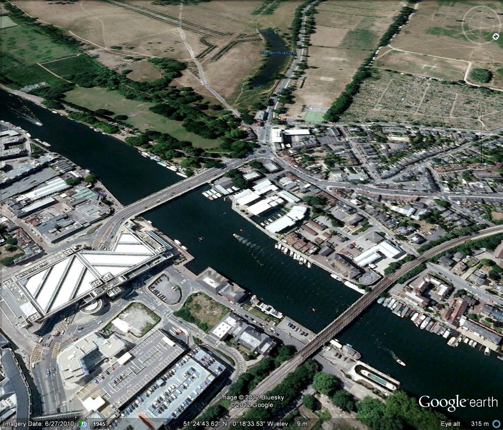
Yes definitely Kingston bridge with Hampton Wick Pond in the background. Approximate modern equivalent view from Google Earth attached. |
TheLastMan |
Monday 25th of June 2012 06:11:24 PM |

Yes definitely Kingston bridge with Hampton Wick Pond in the background. Approximate modern equivalent view from Google Earth attached. |
TheLastMan |
Monday 25th of June 2012 06:10:51 PM |