
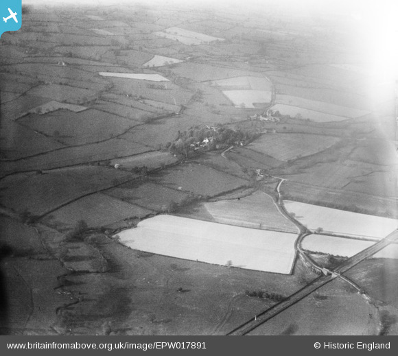
EPW017891 ENGLAND (1927). Countryside around Eaton Brook, Rushbury, from the south-west, 1927
© Hawlfraint cyfranwyr OpenStreetMap a thrwyddedwyd gan yr OpenStreetMap Foundation. 2026. Trwyddedir y gartograffeg fel CC BY-SA.
Delweddau cyfagos (4)
EPW017891

EPW017901

EPW017894

EPW017892

Manylion
| Pennawd | [EPW017891] Countryside around Eaton Brook, Rushbury, from the south-west, 1927 |
| Cyfeirnod | EPW017891 |
| Dyddiad | 11-May-1927 |
| Dolen | |
| Enw lle | RUSHBURY |
| Plwyf | RUSHBURY |
| Ardal | |
| Gwlad | ENGLAND |
| Dwyreiniad / Gogleddiad | 351129, 291369 |
| Hydred / Lledred | -2.7202917123679, 52.51764518 |
| Cyfeirnod Grid Cenedlaethol | SO511914 |
Pinnau
Cyfraniadau Grŵp
See also EPW017891 to EPW017905 (excluding EPW017903) |

BigglesH |
Monday 23rd of July 2012 07:22:51 PM |
Looking North over Ape Dale towards Rushbury where we see St. Peter's Parish Church |

Class31 |
Thursday 5th of July 2012 11:01:54 AM |
Thanks for putting a pin in the map; we’ve reviewed your suggestion and thanks to your help we can update the catalogue. The revised record will appear here in due course, as for the rest of the images in this run. Hope you have the same success solving some of our other mysteries! Katy Whitaker Britain from Above Cataloguer |
Katy Whitaker |
Monday 2nd of July 2012 03:45:41 PM |