
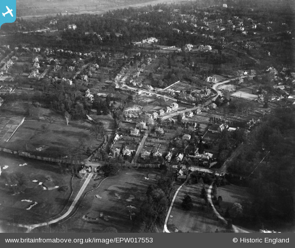
EPW017553 ENGLAND (1927). High Pine Close and environs, Weybridge, 1927
© Hawlfraint cyfranwyr OpenStreetMap a thrwyddedwyd gan yr OpenStreetMap Foundation. 2026. Trwyddedir y gartograffeg fel CC BY-SA.
Delweddau cyfagos (5)
EPW017553

EPW017550

EPW017549

EPW017554

EPW017552

Manylion
| Pennawd | [EPW017553] High Pine Close and environs, Weybridge, 1927 |
| Cyfeirnod | EPW017553 |
| Dyddiad | 8-April-1927 |
| Dolen | |
| Enw lle | WEYBRIDGE |
| Plwyf | |
| Ardal | |
| Gwlad | ENGLAND |
| Dwyreiniad / Gogleddiad | 508441, 164677 |
| Hydred / Lledred | -0.44196295042816, 51.370286638746 |
| Cyfeirnod Grid Cenedlaethol | TQ084647 |
Pinnau
Byddwch y cyntaf i ychwanegu sylw at y ddelwedd hon!