
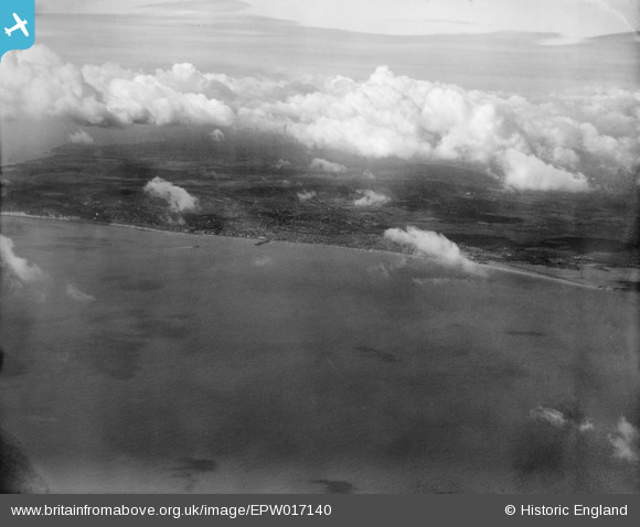
EPW017140 ENGLAND (1926). The coastline, Eastbourne, from the east, 1926
© Hawlfraint cyfranwyr OpenStreetMap a thrwyddedwyd gan yr OpenStreetMap Foundation. 2026. Trwyddedir y gartograffeg fel CC BY-SA.
Delweddau cyfagos (2)
EPW017140

EAW026333
 at sea, Eastbourne, from the south-east, 1949")
Manylion
| Pennawd | [EPW017140] The coastline, Eastbourne, from the east, 1926 |
| Cyfeirnod | EPW017140 |
| Dyddiad | October-1926 |
| Dolen | |
| Enw lle | EASTBOURNE |
| Plwyf | |
| Ardal | |
| Gwlad | ENGLAND |
| Dwyreiniad / Gogleddiad | 562465, 99282 |
| Hydred / Lledred | 0.30428047908605, 50.769774076713 |
| Cyfeirnod Grid Cenedlaethol | TV625993 |
Pinnau
Byddwch y cyntaf i ychwanegu sylw at y ddelwedd hon!