
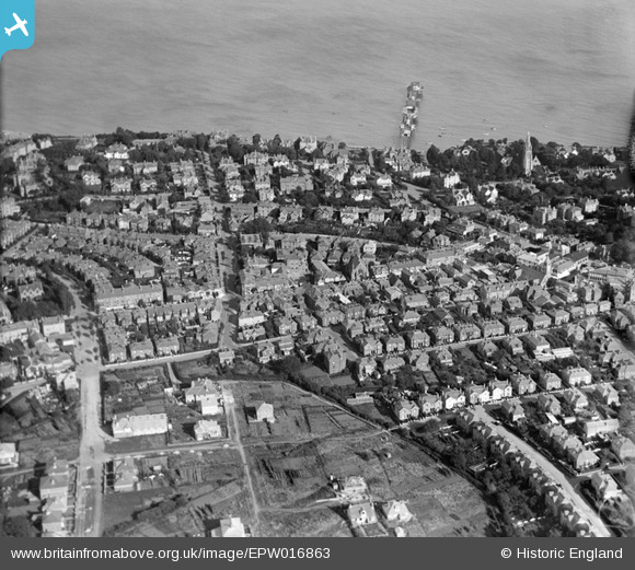
EPW016863 ENGLAND (1926). Clarendon Road and the pier, Shanklin, 1926
© Hawlfraint cyfranwyr OpenStreetMap a thrwyddedwyd gan yr OpenStreetMap Foundation. 2026. Trwyddedir y gartograffeg fel CC BY-SA.
Delweddau cyfagos (4)
EPW016863

EPW022922

EPW024585

EPW024580

Manylion
| Pennawd | [EPW016863] Clarendon Road and the pier, Shanklin, 1926 |
| Cyfeirnod | EPW016863 |
| Dyddiad | August-1926 |
| Dolen | |
| Enw lle | SHANKLIN |
| Plwyf | SHANKLIN |
| Ardal | |
| Gwlad | ENGLAND |
| Dwyreiniad / Gogleddiad | 458239, 81537 |
| Hydred / Lledred | -1.1764719381144, 50.630035285699 |
| Cyfeirnod Grid Cenedlaethol | SZ582815 |
Pinnau

Barrie J |
Wednesday 26th of August 2015 08:51:56 PM | |
|
Adam |
Friday 24th of July 2015 11:22:26 PM | |
|
Adam |
Friday 24th of July 2015 11:21:43 PM | |
Shanklin Pier was, unfortunately, destroyed during the Hurricane in October 1987. |
Barrie J |
Wednesday 26th of August 2015 08:53:22 PM |